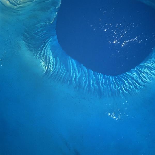

Foto e Imagen Satélite de Tongue of the Ocean, Bahamas
Fuente: National Aeronautics and Space Administration - NASA/JPL/NIMA
Por Mapas Owje

Foto e Imagen Satélite de Tongue of the Ocean, Bahamas
Fuente: National Aeronautics and Space Administration - NASA/JPL/NIMA