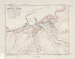

Mapa Fronterizo de México-Estados Unidos, Zuberbueller Bend 1982
Fuente: U.S. Geological Survey and U.S. Customs Service
Por Mapas Owje

Mapa Fronterizo de México-Estados Unidos, Zuberbueller Bend 1982
Fuente: U.S. Geological Survey and U.S. Customs Service